 Declan Ryan, Associate Professor in physical activity and health, has been utilising immersive virtual reality technology to help more people feel confident visiting parks, footpaths and outdoor spaces. One way of achieving this is simple, make those spaces easier to see before people arrive.
Declan’s research focuses on physical activity participation and access to green spaces, particularly for disabled people. He explained that disabled people often face additional barriers when planning visits to outdoor spaces, including uncertainty about path surfaces, gates, chicanes, puddles, bridges, route quality and other potential obstacles. This lack of information can make planning time-consuming and tiring, and in some cases may prevent people from visiting altogether.
He described the project as a small but practical contribution to addressing wider inequalities in access to physical activity and outdoor spaces. By creating a clearer picture of what green routes actually look like, the project aims to remove one of the first barriers to visiting: uncertainty.
Using 360° cameras provided through CADE, Declan has been recording routes through parks and green spaces in Northampton. Rather than creating a specialist platform from scratch, Declan is using technology that many people already know: Google Street View.
Whilst many people already use Google Street View to familiarise themselves with a new location, check landmarks, or understand what a journey will look like, a lot of parks and green spaces still lack the familiar blue Street View lines running through them.
This is because Google’s mapping is often captured from cars and therefore misses off-road routes. The aim is to fill gaps where park paths do not currently appear on Street View, giving people a clearer view of what a route looks like before they travel.
The benefit is practical and immediate. If someone can virtually explore a path before travelling, they can better understand the route, identify possible barriers, and decide whether the space feels accessible for their needs. The hope is that this will make green spaces easier to plan for and, ultimately, encourage more people to visit them.
For disabled people, this missing information can be especially significant. Being able to see a route in advance can help someone judge whether a path is suitable for them, whether the surface is manageable, and whether there are barriers that might affect access.
One of the strengths of the project is its simplicity, the process is deliberately straightforward. Declan places an Insta360 camera on a tripod attachment, carried in a rucksack, and records park footpaths in 360° whilst walking or cycling. The videos are then uploaded through the Insta360 app to Google Street View Studio, where Google processes them into navigable Street View imagery.
The camera and app are designed to be easy to use, making the process accessible to people with a relatively low level of digital confidence. Declan estimated that initial setup takes around 30 minutes, with recording time depending on the route. Shorter recordings, around 20-minute segments, are recommended to support processing and upload.
The biggest challenge is not the recording itself, but waiting for Street View to process the footage. Declan noted that it can take Google several months to process 360° footage into Street View imagery, so patience is required. Good weather helps, as does recording at a steady pace. Cycling can cover more ground smoothly, but moving too quickly may affect video quality. However, once the route is live, it creates a lasting resource that can continue to support people planning visits to green spaces.
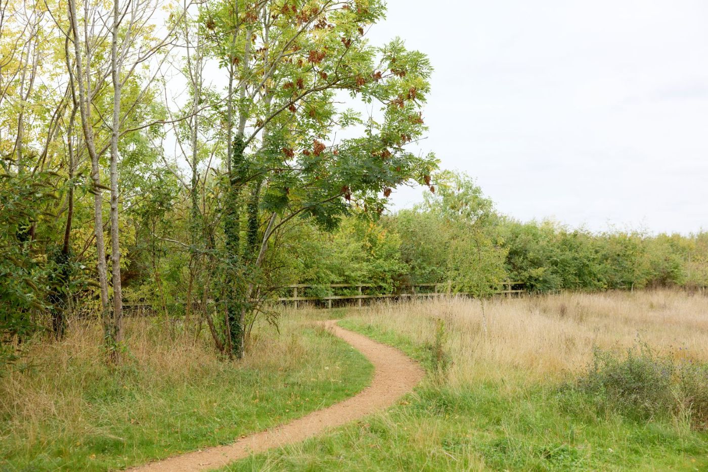
The first test route was at Upton Country Park, where a key footpath has now been added to Street View. This allows users to inspect the condition of the path, including surface quality and obstacles before deciding whether the route is suitable for them.
There has already been encouraging public interest. Declan shared a short clip of the mapping work on social media, which received around 20,000 views and generated comments from people who could see the value of being able to preview routes in this way.
The project also has strong educational value for UON students. It provides an opportunity for them to apply their skills to a real-world environment. UON geography and environmental science students are already being involved in mapping routes, infrastructure auditing and accessibility assessment.
Future recording will focus on active travel routes through Northampton’s green spaces, particularly those that connect to existing Street View coverage. Planned areas include the Active Quarter in the south of Northampton town centre, Delapré Abbey, Becket’s Park, the River Nene, Brackmills Country Park, cycling routes through the industrial estate, the mountain bike park and Hardingstone Pocket Park.
